Dynamic Route Planning Tools
Mastering the digital co-pilot: how route planning software utilizes real-time vehicle telemetry, elevation mapping, and ambient weather data to ensure you reach your destination.
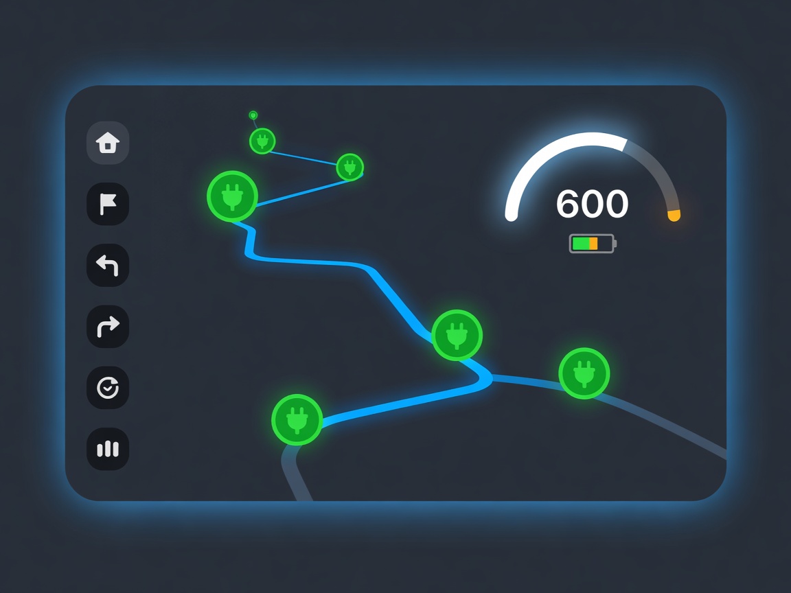
A successful electric road trip relies on more than just high-capacity batteries and fast chargers; it requires intelligent coordination between the two. Traditional navigation tools that simply point from A to B are insufficient for EVs. Instead, dynamic route planning tools have emerged as essential companions, transforming raw data into actionable, optimized travel itineraries.
The Complexity of Range Estimation
Unlike internal combustion vehicles, an EV’s efficiency is highly sensitive to external variables. A stated WLTP or EPA range is a static figure based on controlled laboratory conditions. In the real world, an EV's consumption (measured in miles per kWh or Wh per mile) fluctuates wildly based on aerodynamics, rolling resistance, and thermal management.
Driving into a strong headwind at 75 mph will dramatically curtail range compared to a steady 55 mph cruise on a calm day. Furthermore, cold weather increases the energy required to maintain cabin temperature and optimal battery thermal conditions, often reducing range by 15% to 30%. Dynamic route planners factor in these dynamic variables in real time.
Topography and Elevation
Elevation changes play a crucial role in route planning. Ascending a mountain pass requires immense amounts of energy, rapidly depleting the battery's state of charge (SoC). However, EVs possess a unique advantage: regenerative braking. During the descent, the electric motors act as generators, capturing kinetic energy and feeding it back into the battery.
Sophisticated route planners, such as A Better Routeplanner (ABRP) or built-in systems like Google Automotive, overlay the planned route with detailed topographical maps. They calculate the precise amount of energy required to crest a hill and the exact percentage of charge that will be recovered on the way down, ensuring the vehicle does not arrive at the summit empty.
Real-Time Telemetry Integration
The most accurate route planners are those that communicate directly with the vehicle. Through OBD-II dongles or direct API integrations with the manufacturer's connected services, planners can access live telemetry data. This includes the current SoC, real-time consumption metrics, and even the battery pack's internal temperature.
By comparing the estimated consumption against the live telemetry, the software can adapt dynamically. If the driver encounters heavy rain (increasing rolling resistance) and consumes more energy than predicted, the route planner will automatically recalculate, perhaps suggesting an earlier, closer charging stop to avoid a low-SoC scenario.
Charger Availability and Preconditioning
Knowing a charger exists is helpful; knowing it is currently available and functioning is vital. Modern planners pull live status updates from charging networks. If a planned stop experiences a sudden hardware outage or all stalls are occupied, the software will reroute the driver to an alternative station.
Furthermore, native in-car navigation systems use this data to trigger battery preconditioning. Fast charging is most efficient when the battery is at an optimal temperature (typically around 30°C to 35°C). By knowing exactly when the vehicle will arrive at a DC fast charger, the car can expend energy to heat or cool the battery pack in advance. This ensures that the moment the cable is plugged in, the vehicle can accept the maximum possible kW rate, significantly reducing the duration of the stop.